Jade Mountain | 玉山
The tallest mountain in Taiwan is at the top of the bucket list for most 百岳 hikers.
The tallest mountain in Taiwan is at the top of the bucket list for most 百岳 hikers. Standing at 3,952 meters tall (12,966 ft), Jade Mountain is the crown jewel of hiking on the island. The mountain is named for its appearance in the winter when covered in thick white snow, which resembles stainless jade. What was once the bottom of the ocean has risen to great heights, and now stands proudly as a challenge for any hiker.
The Preparation
After moving to Kaohsiung, I slowly built my hiking prowess. My friends and I started slow with local peaks like Monkey Mountain before taking on more challenging hikes. We were even able to cross off two other 百岳 summits. As my time in Taiwan was running out, I desperately wanted to complete Jade Mountain as a culminations of all the hard work.
A lottery system is used to control the number of hikers on the mountain and without a foreign passport it can be difficult to be chosen. (Apply with a foreign passport increases your chances, but involves a more in-depth application process and can only be used on weekdays.) Luckily after months of applying, we were able to secure a spot on May 15th and 16th. However, just before our trip began, a covid outbreak hit Taiwan. As infected numbers climbed, my hiking partners and I anxiously watched the news. Even as we packed gear into the car and began the drive to the mountain, I was waiting for news that the park had been closed.
Day One
We spent the first night in the Dong Pu Lodge at the base of the mountain. A bunch of hopeful hikers all crammed in together. The bunk was full of snoring and shuffling. With an alarm clock set for 5am I went to sleep hoping that we’d still be able to hike in the morning.
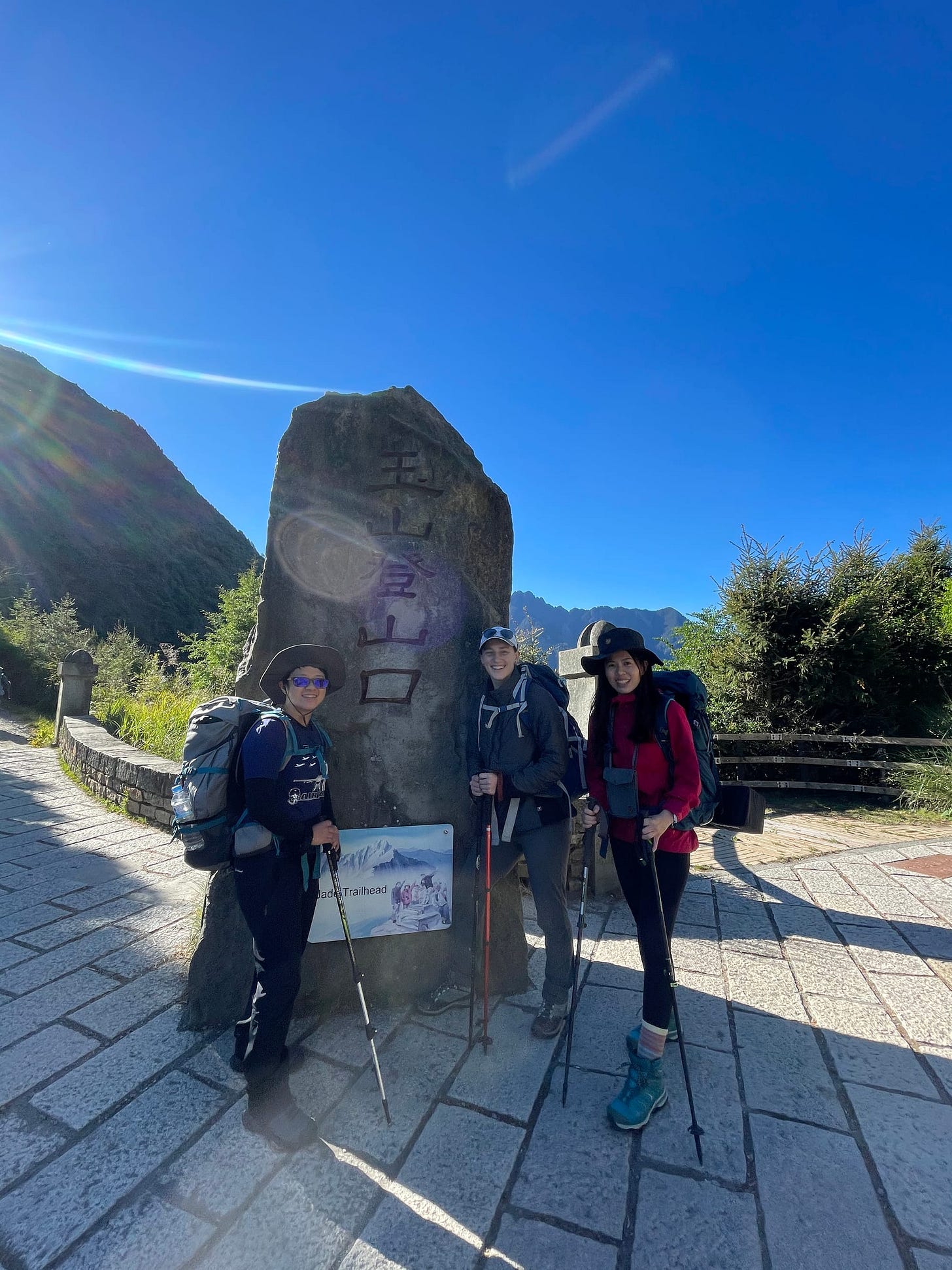
After breakfast we organized our belongings and headed for the shuttle stop. At the local police station check in I held my breath. The park official warned us about the rules, which included wearing a mask in the lodge, and showed us on our way. After a ten minute shuttle to the trailhead, we were officially on our way to hike Jade Mountain.
We were incredibly lucky. They shut down the park the following day. We were the last group of hikers allowed up.
The climb to Pieyun Lodge is 8.5km of up and down rocky trail. There are sections of intense switchbacks that take your breath away, and then there are views of mountain ranges that also take your breath away. We were lucky to have stunningly sunny weather for the hike. The mountains dazzled against a crisp blue sky.
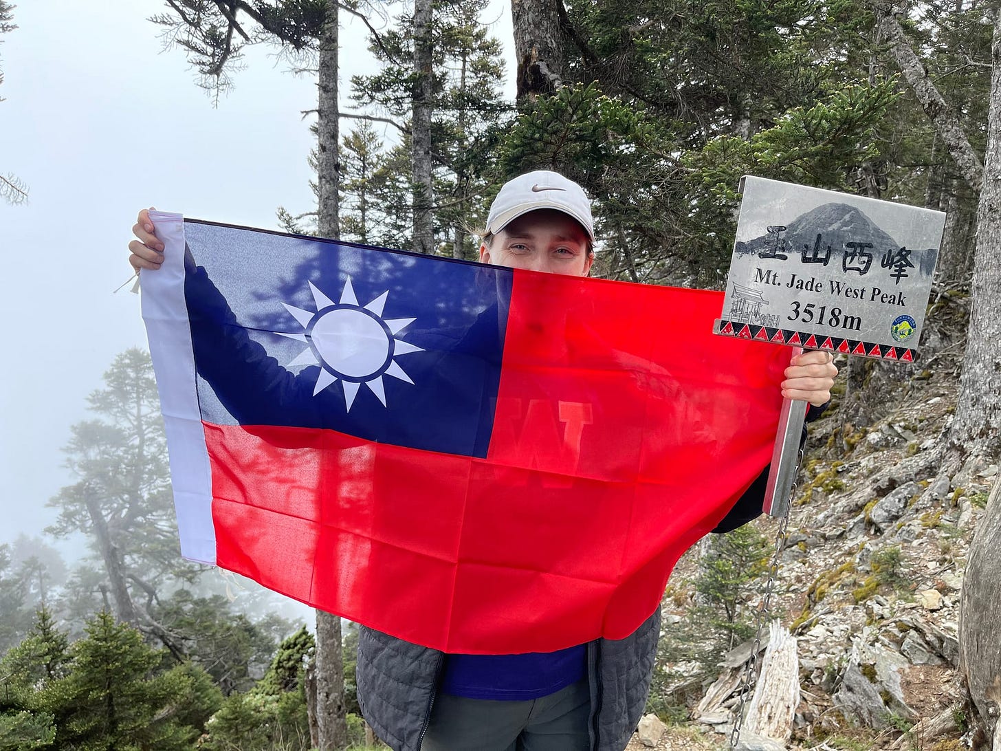
Jade Mountain is nestled among a range of mountains, with the main peak surrounded by the north, west, east, and south peaks. Each peak has a different difficulty rating and offers a different view of the mountain range. West Peak is the easiest to summit, located on a forest back slope of Jade Mountain. At 3,467m (11,375ft) and 4km (2.5mi) from the lodge the West Peak is still a climb but most of the hike is along a ridge and through wooded trails. After setting down our packs at the lodge we set out for our first summit of the trip. Below us, clouds began to sweep into the valley and by the time we arrived we were boxed in by white. But still another 百岳 summit in the books.
We were back at the lodge in time for a 4:30pm dinner. After readying our gear for the morning, we caught the sunset over Chiayi before snuggling in for sleep.
Day Two
We began with a 1am alpine start. In the red glow of headlamps, we dressed, packed, and headed downstairs for breakfast. By 2am we were ready to start hiking. Above the huddled group of hikers, mountain peaks rose black, the ridges backlight by a blanket of stars. Above us the Milky Way spread across the sky, visible to the naked eye. Down the valley, the city of Chiayi was a blaze of light against the dark. We began the climb, headlights illuminating our path.
The hike to the crossroads between Main Peak and North Peak took two hours. Above us, the sky was clear and filled to the brim with stars. With darkness obscuring the drop below us we scrambled across rocky outcroppings clinging to large chains bolted into the rock.
200m from the from the top of the Main Peak we took a left and began a decent down a steep shale slope. One slip and you’d slide all the way to the bottom. We clung to the chains and skated across the loose rock. Behind us, blinking lights from the headlamps of other hikers tricked in a thin line down the slope.
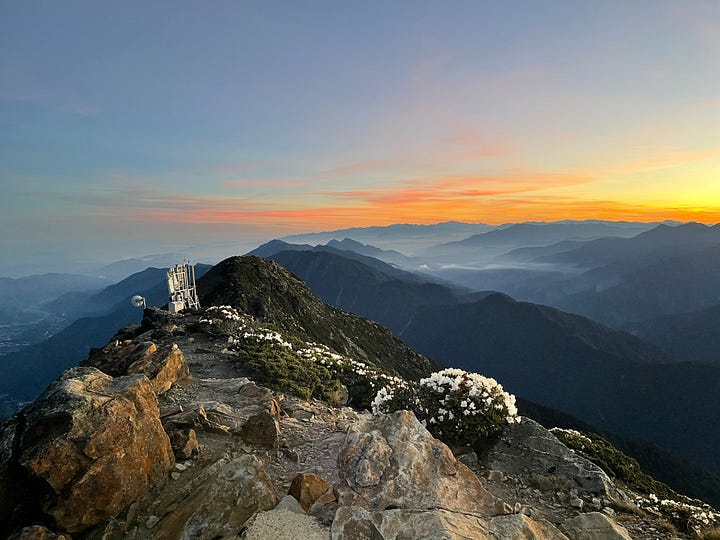
Ahead along a ridge shone the light of the weather station on North Peak. It’d take 2 hours to reach, said Jessica. As we walked the glow of the western seaboard lit up the expanse of land to our left. Above us, the stars. On the right, inky darkness slowly began to lighten into mountain ridges. Our headlamps began to die just as the first light of dawn started to break over the mountains. We climbed faster, racing to make the peak before sunrise.
The mountains were aglow with dawn light as we finally crested the steps in front of the weather station. Jade Mountain came into view, the craggy face still deeply shadowed but growing lighter every second. We continued past the station to the final peak as the first oranges and yellows of the rising sun slipped over the ridge. As we crested the summit, the sun bathed the valley below us in morning light.
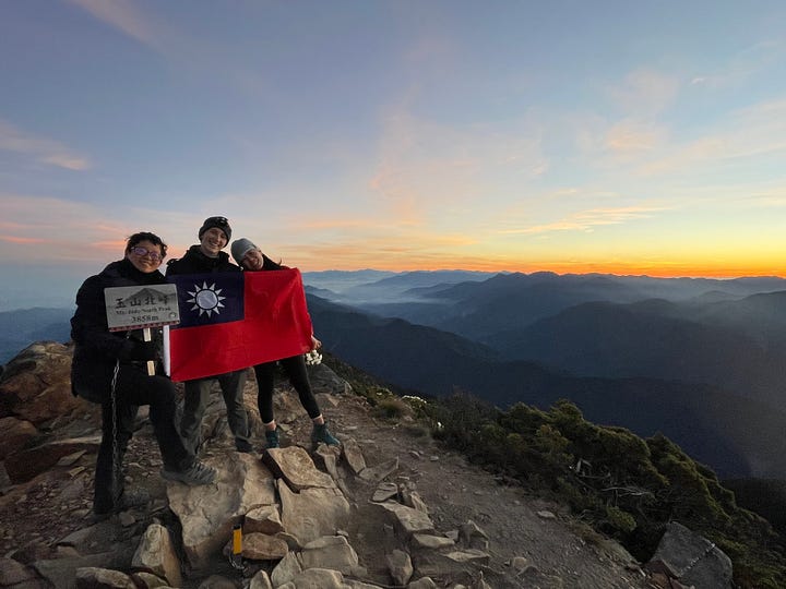
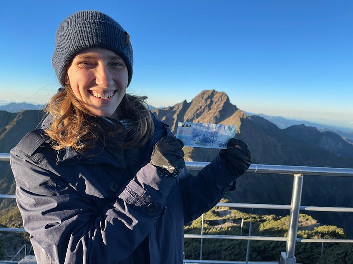
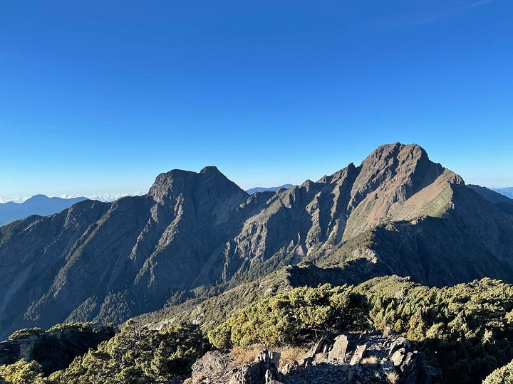
After a field day of photos, we stopped to get a picture with the 一千元的风景. If you look on the back of the 1,000NT banknote, the picture is the view from this spot, so it is called the “$1000 view”. We took photos with a newly pressed 1,000NT note, and then a scientist came out and lent us a massive towel printed with the bill, so the pictures go even better.
The only drawback of looking at Jade Mountain from the spot was realizing how far we had left to go. So we set off. The hike, now in full day light, was beautiful. White flowers dotted the edges of the trail and the Main Peak would emerge from the woods to tower above us. We reached the base of the shale slope up to the Main Peak an hour and half later, at 7:10am. Having already walked 9km that morning, my legs quivered. But there was no escaping it. The peak towered above us, formidable and unyeilding.
If coming down the shale slope had been difficult, going back up was near impossible. Progress was slow. One foot forward. Then another. Then rest. Just ahead of me an older hiker climbed slowly, a Taiwanese flag draped over his shoulder and fluttering in the breeze. Below me, other hikers inched up the mountain.
“I’m going to puke.” I called to Chu, who was several feet behind me.
No response. I took two more steps.
“I really think I’m going to puke.”
The elevation and strenuous climb was taking its toll. Afterward Chu admitted she hadn’t even heard me, because she’d been so focused on her mantra of “don’t stop. Get up the mountain.”
It was quite possibly one of the hardest things I’ve ever done. And we still had 200m to go once we reached the top. After resting a moment at the split, hunkered behind boulders as the wind whipping over the ridge line cut through out jackets, we set off again.
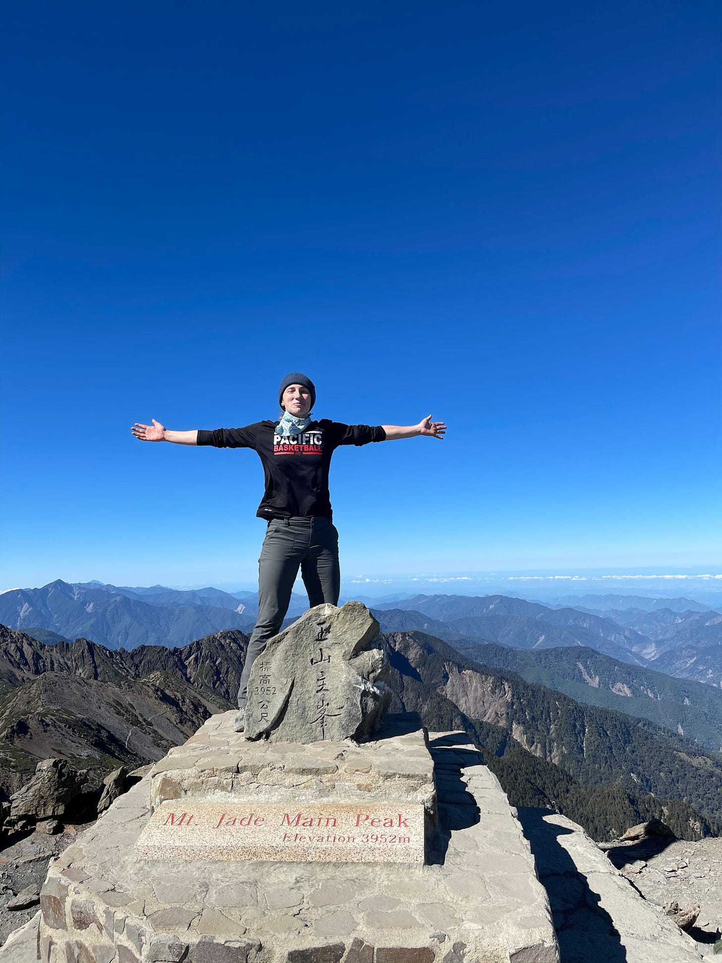
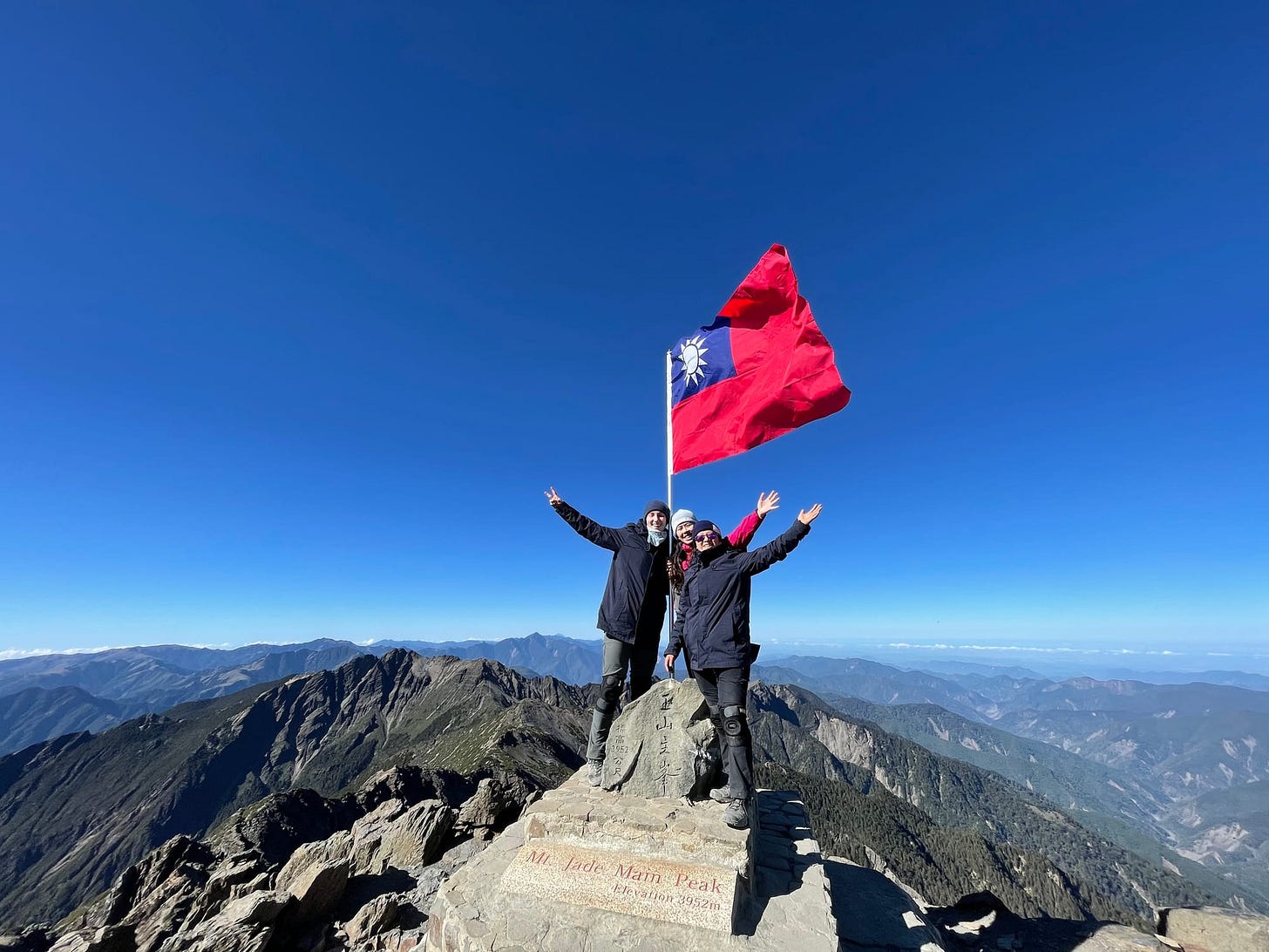
As we crested the highest point on the island, the 360 degree view of mountains spread before us. The Taiwan Straight was visible on the horizon. I could reach up and run my fingers through the blue sky. We were on top of the world.
Chu and Jessica pulled out a Taiwanese flag they had brought and we all signed it. After many photos and much marveling, we realized if we didn’t book it back to the lodge we might miss lunch. So, begrudgingly, we left.
Over lunch in the lodge, the news had broken that the country had just entered Stage 3 epidemic control, and that the mountain would be closing. Unlike the day before, when we had greeted hikers headed back down the mountain, today the lodge was eerily empty. No one was moving in. Everyone was heading out. The reality of what awaited us off the mountain was creeping in.
Around 11:30am we began our descent, with another 9km ahead of us. It was a long trek on tired legs. By the time we reached the trailhead (where an official was waiting to verify Our ID’s and had roped off the trail) I was ready to collapse into unending slumber.
Off the mountain, the air was hot and humid, but the aura of the mountain still clung to our shoulders. The buzz of accomplishment could not be shaken.
Climbing Jade Mountain was one of the most difficult things I’ve ever done. It was a perfect final achievement for my time in Taiwan.


